News — It was Labor Day weekend of 1935, and a powerful hurricane was headed straight for Cuba. At least, that’s what the latest forecast track, generated in part by ships at sea, had indicated.
Less than a day before the storm hit, a Pan Am seaplane pilot flying a Key West to Havana route noticed something: a massive cloud bank farther north than it should have been.
Could the storm forecast have been wrong?
Leonard J. Povey, an American expatriate and aviator living in Cuba, volunteered to find out. He climbed inside his open cockpit Curtiss Hawk II biplane and flew over the Florida Straits, locating the storm and learning that it was moving north into the Florida Keys. Cuba would be spared, but the Keys were in the cyclone’s bull’s-eye.
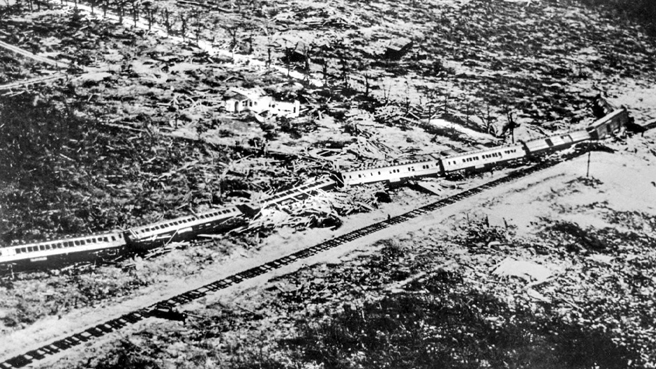
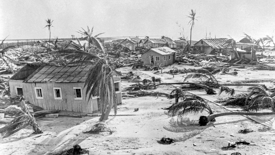
Forecasters issued a warning that a devastating storm was headed for the string of tropical islands. But that warning came too late for an effective evacuation, and on Sept. 2, the storm slammed into the Middle Keys, killing more than 400 people, many of them World War I veterans working on a section of the Overseas Highway as part of a federal relief project.

Povey’s was the first documented case of an aircraft being flown for the distinct purpose of locating a hurricane. He became an advocate for such flights, urging Congress to implement a permanent program for the aerial reconnaissance of tropical cyclones.
Today, the National Oceanic and Atmospheric Administration (NOAA) operates a small fleet of aircraft that fly into the heart of violent hurricanes, experiencing winds that can send their planes plummeting hundreds of feet in only a few seconds.
Scientists at the University of Miami form the backbone of those missions, deploying sophisticated weather monitoring devices called dropsondes and measure temperature, pressure, humidity, and wind speed as they fall from the aircraft to the surface.
That data is sent in real time to the National Hurricane Center in Miami, where meteorologists use the information to issue forecasts that help emergency managers prepare for storm impacts.
“The data and physical understanding gained from their in-the-field efforts are critical for our continued efforts to improve the prediction of hurricane tracks and, most importantly, to save lives,” said , the director of CIMAS, which is part of the , where he serves as a professor of atmospheric sciences and is the William R. Middelthon III Endowed Chair of Earth Sciences.
With El Niño conditions that typically suppress hurricane activity coming to an end and with warmer sea surface temperatures and climate change all contributing to increasingly active hurricane seasons and more powerful storms, CIMAS scientists who deploy on reconnaissance flights are being pushed to the limits.
“It’s been a grueling pace,” said CIMAS scientist . The Hurricane Field Program he directs is a collaboration between CIMAS and NOAA’s Hurricane Research Division at the Atlatic Ocenographic and Meteorological Laboratory, located across the Rickenbacker Causeway from the Rosenstiel School.
The record-breaking season of 2020, for example—which saw 30 named storms, including 14 hurricanes—was one of the busiest ever for NOAA’s fleet of two P-3 turbo prop aircraft, nicknamed Kermit and Miss Piggy, and its Gulfstream IV jet, nickenamed Gonzo. Scientists logged 86 flights and 678 hours of flight time that season.
“For us, it’s always, ‘What’s coming down the pike?’” Dunion said. “Early season activity doesn’t always dictate what’s going to happen later. All the ingredients now are that we’re in for an extremely busy year.”
Hurricane Beryl, he noted, set all kinds of records—the earliest Category 5 storm on record in the Atlantic basin being one of them. “That was very unusual. Beryl was a Cape Verde storm, originating off the western coast of Africa,” Dunion said. “We typically don’t see those kinds of storms until August or September. So, we’re obviously way ahead of the curve.”

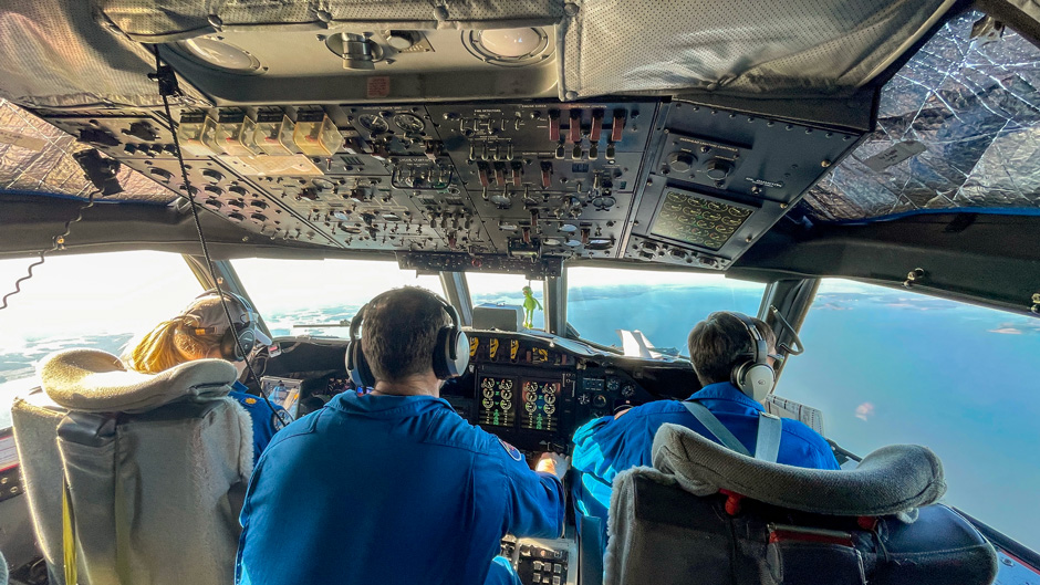
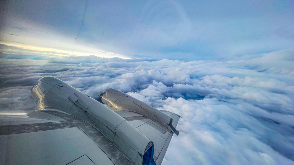
Pilots fly a P-3 Orion aircraft into the heart of a hurricane. Photos: NOAA/Atlantic Oceanographic and Meteorological Laboratory
Based out of Lakeland Linder International Airport in Central Florida, the hurricane hunters are always prepared for what’s to come, Dunion said. Crew members and scientists test their instruments long before the season starts and are continuously conducting other storm-related research, some of it involving new technology.
But even with advancements in satellite technology and computer models that allow forecasters to track and monitor storms, the role of hurricane hunters remains vital for storm predictions because “it’s not possible to get that in-situ data any other way,” said , a senior research associate at CIMAS, who earned a master’s degree in meteorology and physical oceanography at the Rosenstiel School.
“Satellite technology is getting better and better, but there are still limitations; they can only see so much,” she explained. “A hurricane is basically an organized group of storm clouds. And a lot of satellites aren’t good at seeing through clouds. Some may see only through the top layers, the thin cirrus clouds. Others may not be able to see through ice. So, you can’t really see the entire 3D structure of a hurricane just by looking down on it from a satellite.”
Flying figure 4 and butterfly patterns through storms for as long as eight hours during a single mission, the hurricane hunters provide a CAT scan of the inner core of a storm, using rear-mounted Tail Doppler Radar to continuously measure near-vertical cross-sections of precipitation and winds. “It’s all the way from just above the ocean surface to the very top of the storm,” Dunion explained. “While that data is also used for research purposes, our primary objective while we’re airborne is to get the information out to the National Hurricane Center and modelling centers around the world to improve forecasts.”
His team also has been experimenting with drones, deploying them from the P-3s and flying them at altitudes deemed unsafe for crewed aircraft.
“They’re allowing us to measure parts of the storm we don’t typically fly into, the boundary layer down to about 100 feet,” said CIMAS scientist A double Rosenstiel School alumnus who earned master's and doctoral degrees in applied marine physics, Zhang has deployed drones into Hurricane Ian, a major cyclone that caused widespread damage in Southwest Florida in 2022, and into Hurricane Tammy a year later.
Data from those unmanned aircraft, as well as from saildrones positioned in the western Atlantic, Caribbean, and Gulf of Mexico, are being used by NOAA scientists to improve forecast models, noted Zhang, who earned master’s and Ph.D. degrees in applied marine physics from the Rosenstiel School.
Dunion is excited about the potential of long-endurance unmanned drones, which he hopes the Hurricane Research Division will deploy soon.

“We fly through the center of a storm as many as three times on an average flight. We can stay for only so long,” he said. “But just imagine if we could leave a drone behind that could fly for hours as a sentinel in the sky, taking continuous measurements of pressure changes over time. That’s in our future.”
But even the drones have limitations. “Before we can really rely on that technology, we must verify it,” said Sellwood, who, on hurricane hunter flights, is tasked with gathering data collected from dropsondes, quality controlling it, and then making it available to the public. “To trust the data that we’re getting from these new instruments, we need to ground truth it, compare it with other observations we’re familiar with and have been using for years and have confidence in.”
So don’t expect the fleet of hurricane hunters to be mothballed. Flying WC-130J Hercules aircraft, the U.S. Air Force Reserve’s 53rd Weather Reconnaissance Squadron out of Keesler Air Force Base in Biloxi, Mississippi, operates similar missions to NOAA’s.
“The data they all collect is extremely important to us. Without it, we’d have to estimate the strength of storms using only satellites,” said Daniel Brown, a senior hurricane specialist and warning coordination meteorologist at the National Hurricane Center. “Satellites are like taking an X-ray of a [storm] system from afar. The hurricane hunters are measuring the inside of a storm, doing the all-important biopsy, I like to say.”


